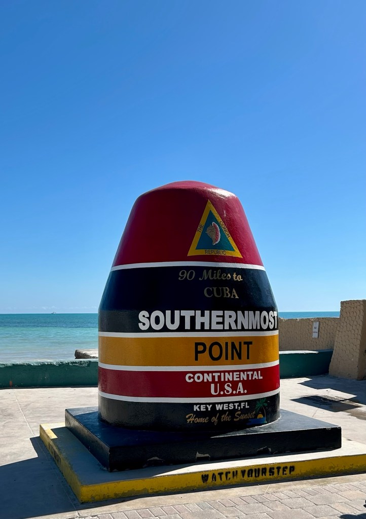
Bob and I could not have picked a better time to visit the Florida national parks, which are located in South Florida. Mid-February was unseasonably and comfortably cool, and we didn’t even have to break out the mosquito repellent. Key West during the winter has been on our bucket list ever since Bob retired. It is a reasonable drive from Orlando, and while we were there, we could make sure Cuba wasn’t getting any closer to us. Good news – it is not.
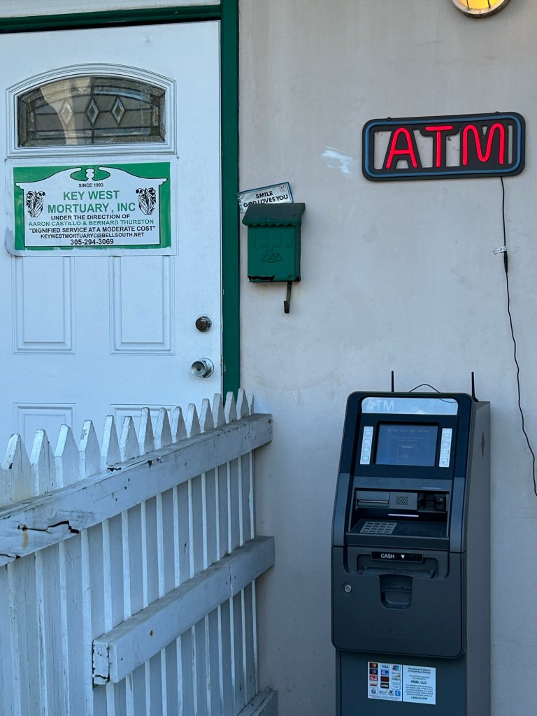
We did a walking foodie tour and enjoyed some great Cuban food including , of course, key lime pie. But my favorite thing we saw as we walked the streets of old Key West was the entryway to the local mortuary.
Crossing another national park off that bucket list was the driver for this trip. Dry Tortugas National Park is 70 miles west of Key West. It’s a 2.5-hour ferry ride to this lovely island, which boasts Civil War era Fort Jefferson. It never saw action but was formidable looking and played a part in keeping shipping lanes safe.
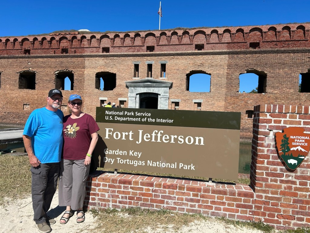
Part of the fort’s claim to fame is that Dr. Mudd was sentenced to hard time there for his part in the conspiracy to assassinate President Lincoln. I wonder if he felt like execution would have been kinder, because building a fort in the raging heat was definitely hard labor. Not to mention that it is called Dry Tortugas because there is no freshwater there.
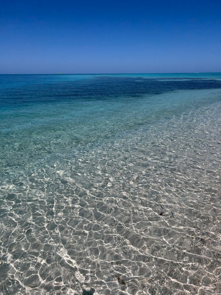
The beauty of the park is overwhelming. We did not snorkel that day because the water was a mere 70 degrees, and that doesn’t fit in the comfort zone of this Florida girl.
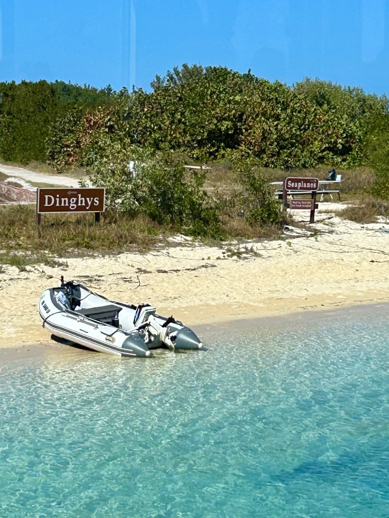
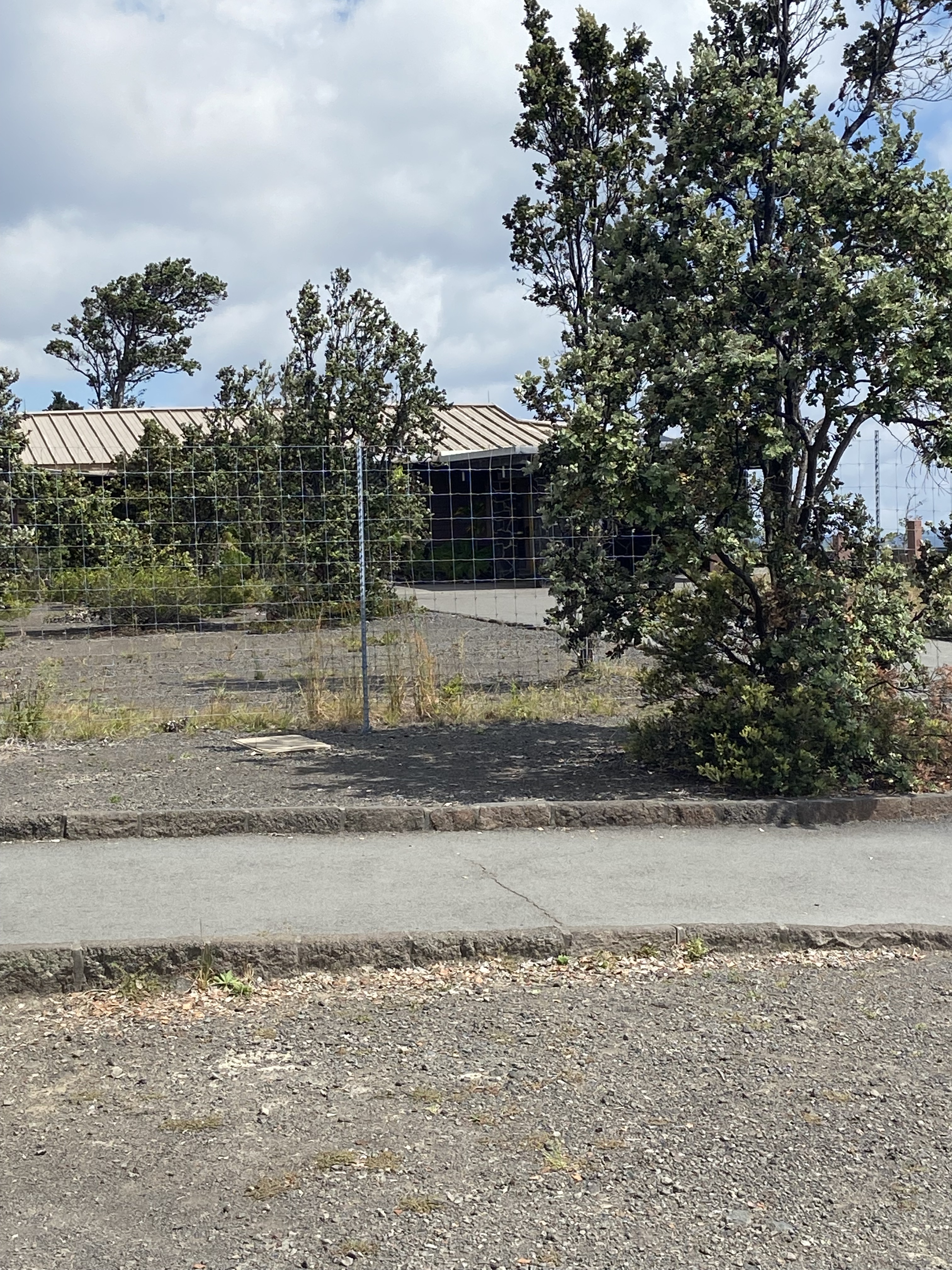
Plenty of parking
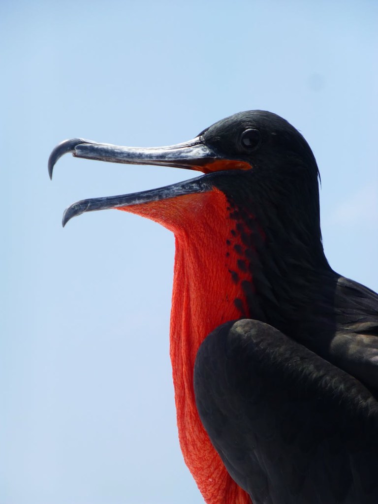
We enjoyed lovely walks with our feet in the water and witnessed a raft (that’s what you call a colony, which is what you call a flock) of magnificent frigate birds. These guys are big with a wingspan averaging 6.5 to 7 feet. Now you know why they’re called magnificent. A colony of them decorated two trees at the end of the beach – there must have been over sixty of them.
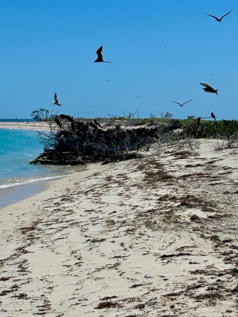
The adult males are black and have a large red throat pouch which they puff out during mating season. It’s quite eye-catching, and I think all the lady frigate birds were impressed.
Soon our wanderlust took hold of us, and we drove north (like there are options!) toward Everglades National Park. Years ago, we made a brief appearance in this park. We had our four children with us, and when we opened the van door to step outside, we were covered by a swarm of angry mosquitoes. I was still a bit of a novice regarding all the things that want to bite you in Florida, but I’ve since learned to always be packing (OFF!).
When Bob and I stopped to get the iconic picture of the park entrance sign, I was shocked to see it was made of rock, specifically limestone.
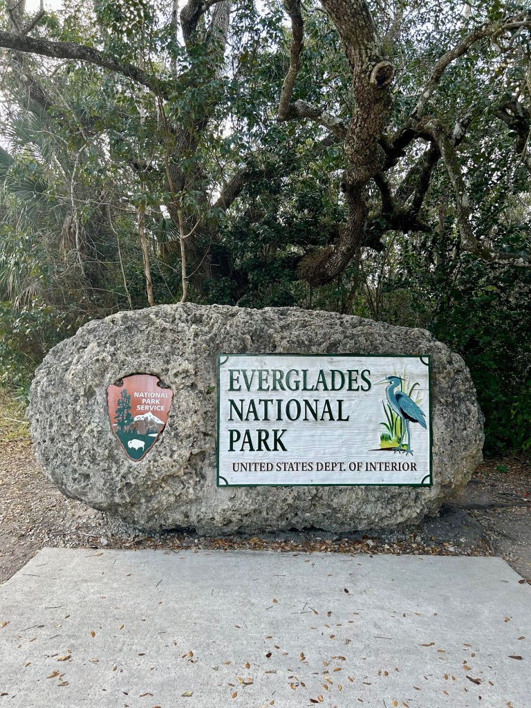
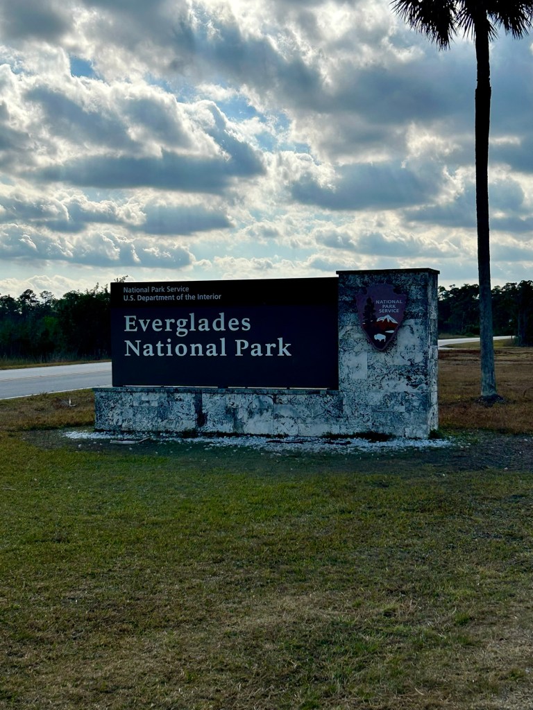
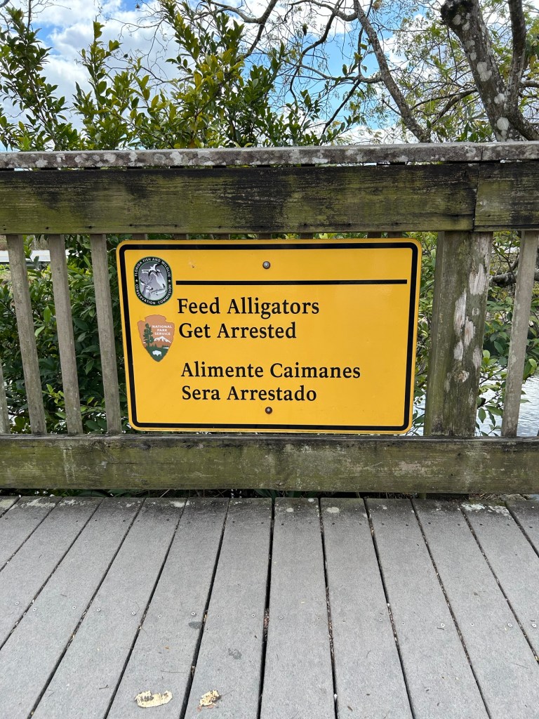
Just to make sure nobody was disappointed, a few hundred feet down the road we encountered this sign. Whew!
Everglades is not the most beautiful park we’ve visited, but it is super interesting and an important part of Florida’s ecosystem. It’s like a sea of fresh water moving slowly under and through grassy plains. (At present, we are in the dry season here.) Just under the water’s surface is limestone, hence the reason for the unique sign at the entrance. Limestone is the bedrock of this national park and shapes its ecosystem.
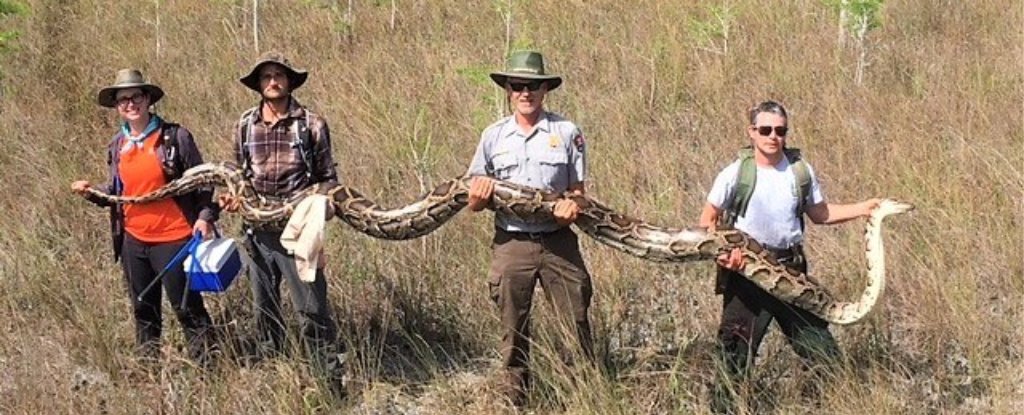
I was reminded of the Great Plains. As far as the eye could see there was grass with the occasional small tree island. There were alligators everywhere (unlike the Great Plains). Birds have been in decline due to the python invasion, but we saw a few anhingas.
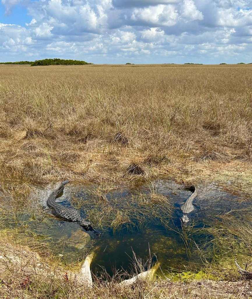
Believe it or not, this is the early stage of alligator courtship.
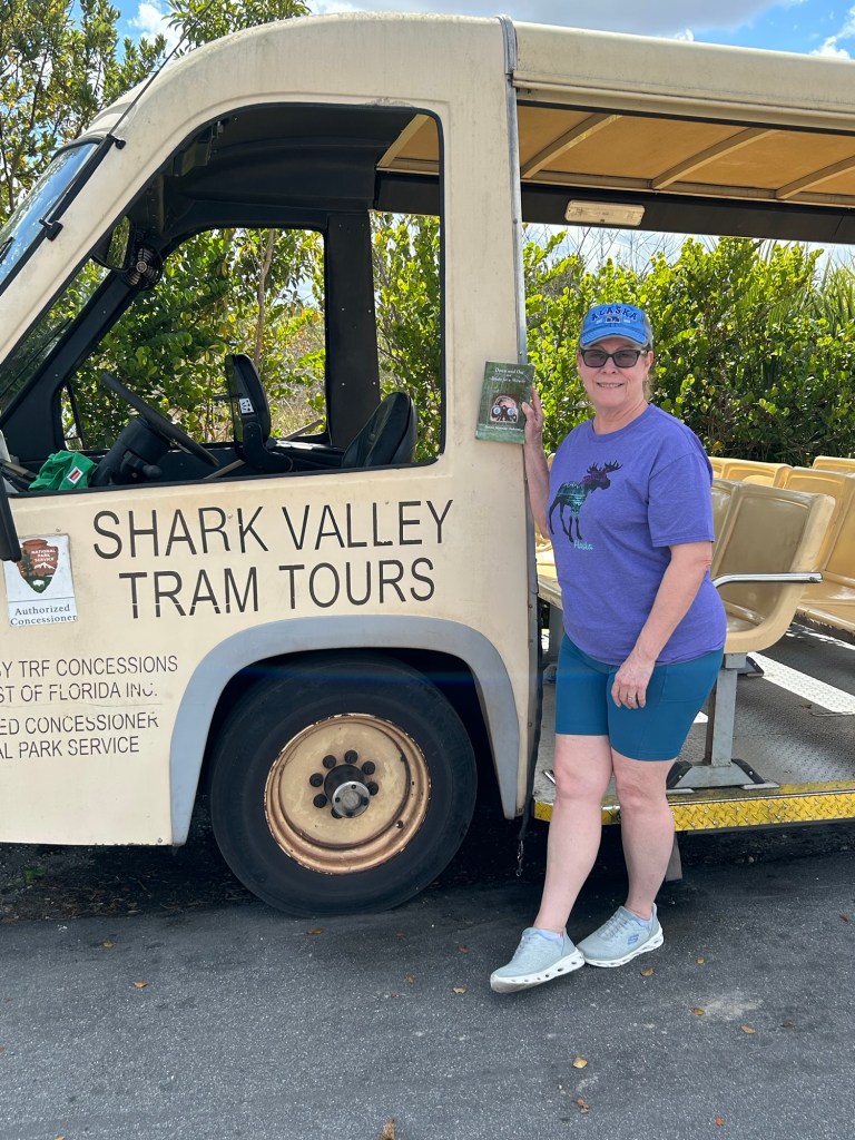
We viewed all of this from the safety of our Shark Valley Tram Tour.
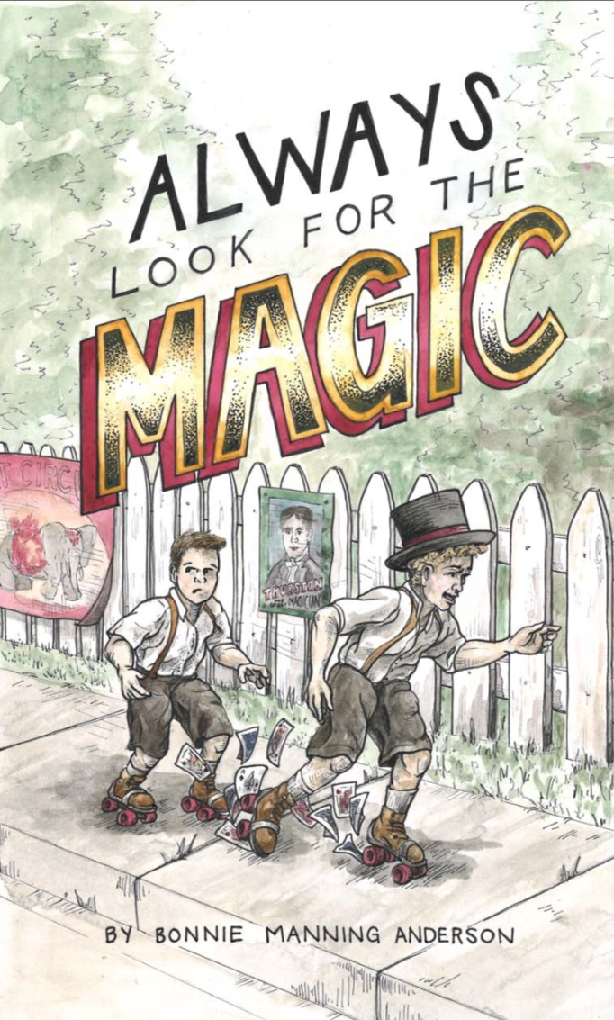
Shameless plug for my new book, which is available on Amazon. Click picture on the right of screen.
When you see alligators around every corner and in nearly every puddle of water, you start to become numb to them. That’s why I didn’t notice that there was one alligator who stood out in the crowd, largely because he was not an alligator.
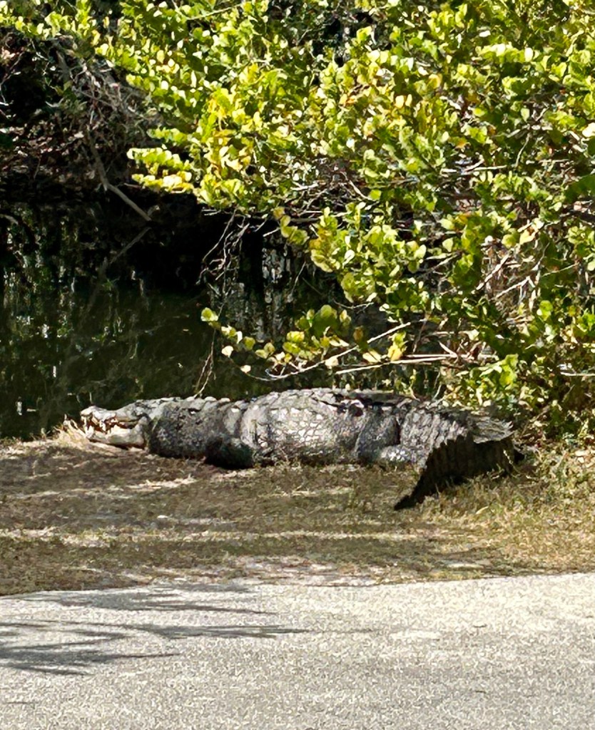
This was our first American crocodile sighting in the wild. We may not have noticed except our ranger loudly scolded people who were standing right next to the big fellow, who was at least ten feet long. You’re not in Disney anymore! These are wild animals, people!
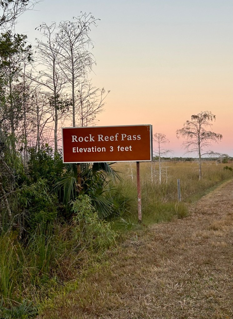
Florida is flat, so we don’t typically see elevation signs along the road. Within the park, they measure elevation in inches as the slightest changes affect the terrain.
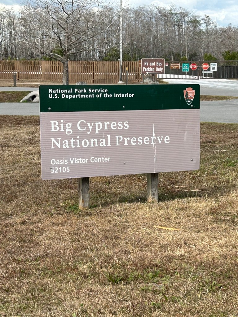
After leaving the park, we drove west and stopped at Big Cypress National Preserve where we saw, you guessed it, more alligators in the wetlands there.
I did not expect to see manatees swimming in the canals as we drove down the road, so they were an added bonus. Manatees are not very photogenic. If you take a picture of one from the road, it looks like a big lump. I missed my photo opportunities, as did I when we passed the CROCODILE CROSSING road signs just south of the park.
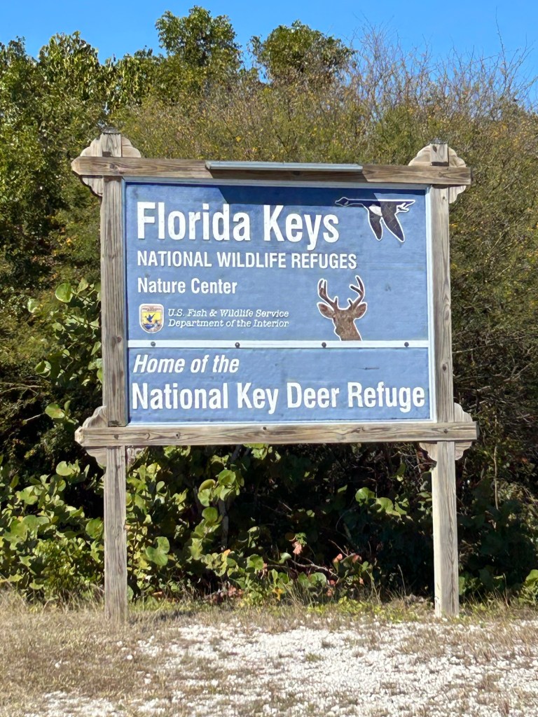
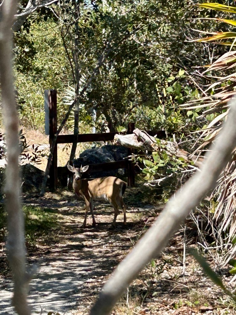
I failed to mention that we stopped at the Key Deer Refuge after we left Key West. We took a short hike and there stood a key deer, posing for us. They are part of the white-tailed deer family, only smaller.
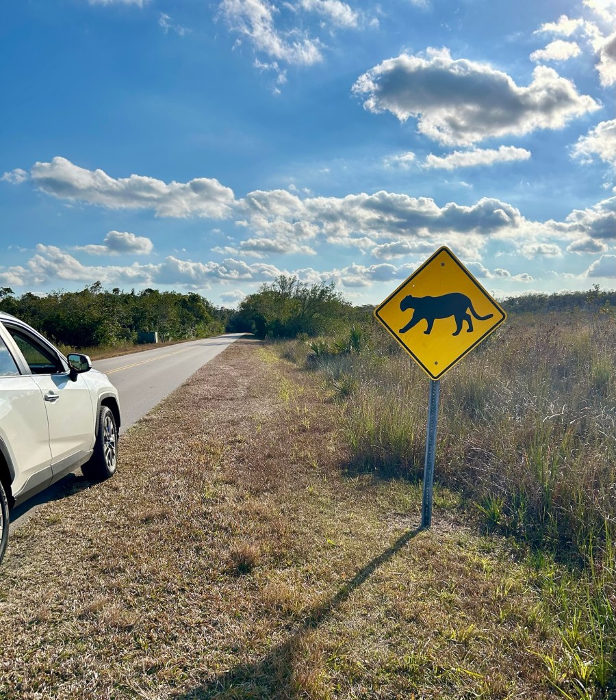
The only Florida animal that I have not seen in the wild is the Florida Panther. It is endangered, and it’s okay with me that I have never come upon one, but I keep my eyes open. All the signs are there!